
Charity Events to Take Part in
Charity Events to Take Part in Around the New Forest If you are ready to do something good and make a difference in the world, you will be pleased to hear that there are
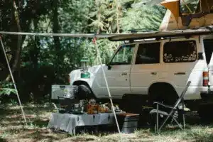
Spring Camping Trip with Mum
5 Must-Have Essentials for a Spring Camping Trip with Mum in the New Forest Planning a spring camping trip with your mother can transform a typical Mother’s Day into an enduring tale. New Forest, with
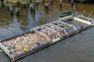
World Clean Up Day
World Clean Up Day: Bringing the country together to conserve our environment National and World Cleanup Day takes place on the third Saturday of September. World Clean Up Day is a beloved event that mobilizes
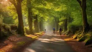
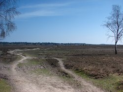
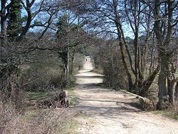
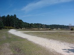
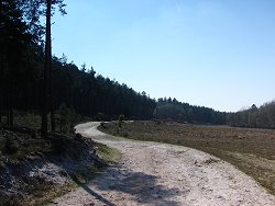
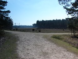
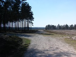
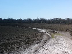
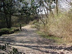
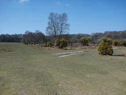
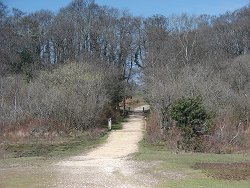
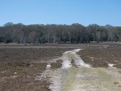
Best Cycling Trails in New Forest
Best Cycling Trails in New Forest: Discover Scenic Routes for All Skill Levels Indeed, the New Forest bristles with some of the most exceptional cycling trails suitable for all skill levels. Keen cyclists and novices
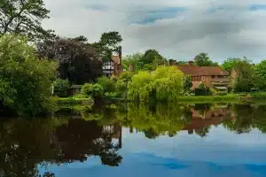
Brockenhurst New Forest Hotels
Brockenhurst New Forest Hotels & Accommodation Brockenhurst is a charming village located in the heart of the New Forest National Park in Hampshire, England. Known for its picturesque natural scenery, quaint villages, free-roaming ponies, and
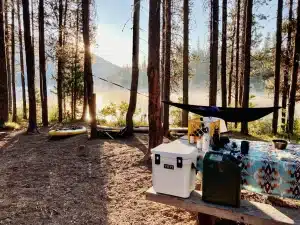
Best Camping Fridges UK
Best Camping Fridges UK – Reviewed for 2023 If you’re looking to enjoy your time away from the civilization, planning an outdoor camping trip requires thoughtful preparation. Nothing is more crucial than the right equipment. Portable fridges