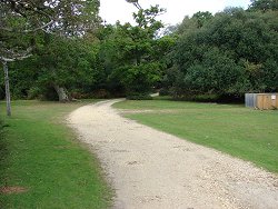
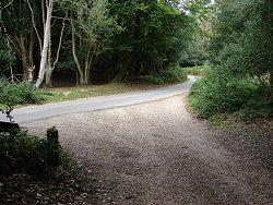
Burley Walk


Keep New Forest Water Clean
The New Forest National Park is home to some of the UK’s most valuable freshwater habitats, from rare headwater streams to seasonal ponds that appear and disappear with the rainfall. Despite its protected status, these
Understanding Firearm Policies
Yes, a person can legally carry a firearm in national parks, but the rule is narrower than it sounds. Firearm policies in and around national parks start with a 2010 change in federal law. That

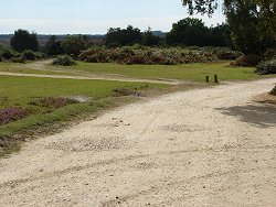
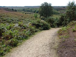
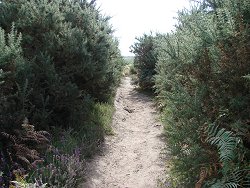
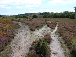
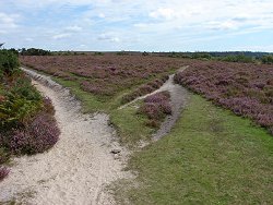
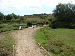
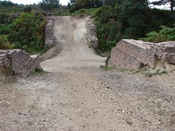
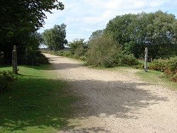
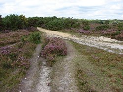
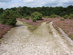
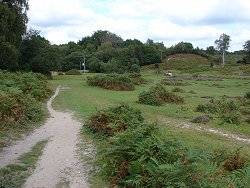
A Guide to Trails and Park Terrain
There is a specific smell that hits you the moment you step out of the car in the New Forest. It is a mix of damp oak leaves, ancient soil, and honestly, a little bit

New Forest Activities for Single-Parent Families
The New Forest offers a wealth of year-round experiences perfect for single-parent families looking to create lasting memories. From spring woodland walks surrounded by bluebells to summer picnics by gentle streams, the national park provides

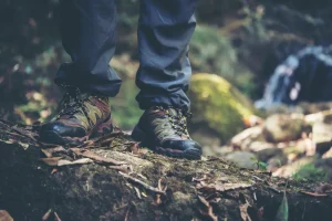
Practical Equipment for Life on the Road
More people choose mobile living every year, from weekend caravanners to full-time digital nomads. Homes on wheels promise freedom, changing scenery, and a lifestyle that breaks away from traditional routines. That lifestyle only feels comfortable
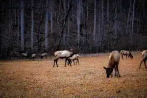
How to Enjoy the New Forest’s Nature and Wildlife Without Breaking the Bank
The New Forest is one of the UK’s most cherished landscapes, a place where ancient woodlands, open heathlands, free-roaming ponies, and peaceful villages come together to create an unforgettable outdoor escape. And while many people