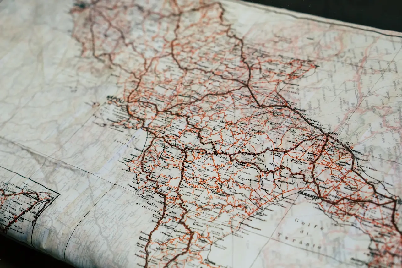
How to read map co-ordinates

How To Make Traveling Less Stressful
How to Make Travelling Less Stressful Travel should refresh and inspire you—not leave you feeling frazzled and drained. Unfortunately, missed connections, overloaded itineraries, and overstuffed suitcases can turn even the most exciting holiday into a

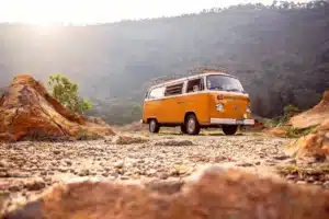
Prep Your Car for Long Nature Drives
The engine hums quietly as dawn light filters through towering pines, and you’re miles from the nearest gas station with nothing but winding mountain roads ahead. Your car isn’t just transportation on these journeys—it’s your
Rugged Looks Built for Park Terrain
Whether you’re driving winding forest roads or parked at a trailhead surrounded by mossy oaks and chirping robins, your truck says a lot about your adventure style. For many outdoor enthusiasts, function comes first—but that

Planning Safe Camps
Setting up camp in remote locations is the kind of adventure many dream about—off the grid, fresh air, starry skies. But anyone who’s tried it knows there’s a fine line between a fun escape and

How to Find the Most Beautiful Secret Hotels
If you’re craving a luxurious, quiet retreat away from the hustle and bustle, a secret hotel might be the getaway you need. You can check into a hidden spot in an atmospheric city, a gorgeous

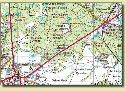
The Most Thrilling Shore Excursions
Do you want to know about the most thrilling shore excursions? If you’re after an action-packed escape on the British coast, New Forest National Park really does deliver some of the wildest shore excursions for